As I mentioned in a previous post, when I see a mountain, I have to be
on top of it. During our visit to Fort Frederick, I saw this very obvious
mountain, which is close to St. Georg's and thus promises agreat view
onto the city and the beaches.
Its name is Mount Maitland and it can be easily recognized by the big radiomast
on top of it, but they are not on the summit.
 |
| The summit of Mt.Maitland in the background |
After looking on the map of cariboutdoor.com, I planned the route and
loaded it onto my smartphone. Of course I want to conquer the mountain
without any help, it was the perfect tour for my rental mountainbike,
especially since a dirt track reaches all the way up to the radio mast.
My real target, of course, was the real summit of Mt. Mailtand. I was
thinking, if there are mountain lovers on the island, there must be a
trail along the ridge from the mast to the summit.
I started at the Shell gas station at Lagoon road at 8 o'clock and fought my way up towards Mt. Parnassus.
The road is pretty steep sometimes but manageable. Only in the last third of the route, there is a very steep section. I got a good rain shower in this area, that helped me to keep cool and cycle the steep section.
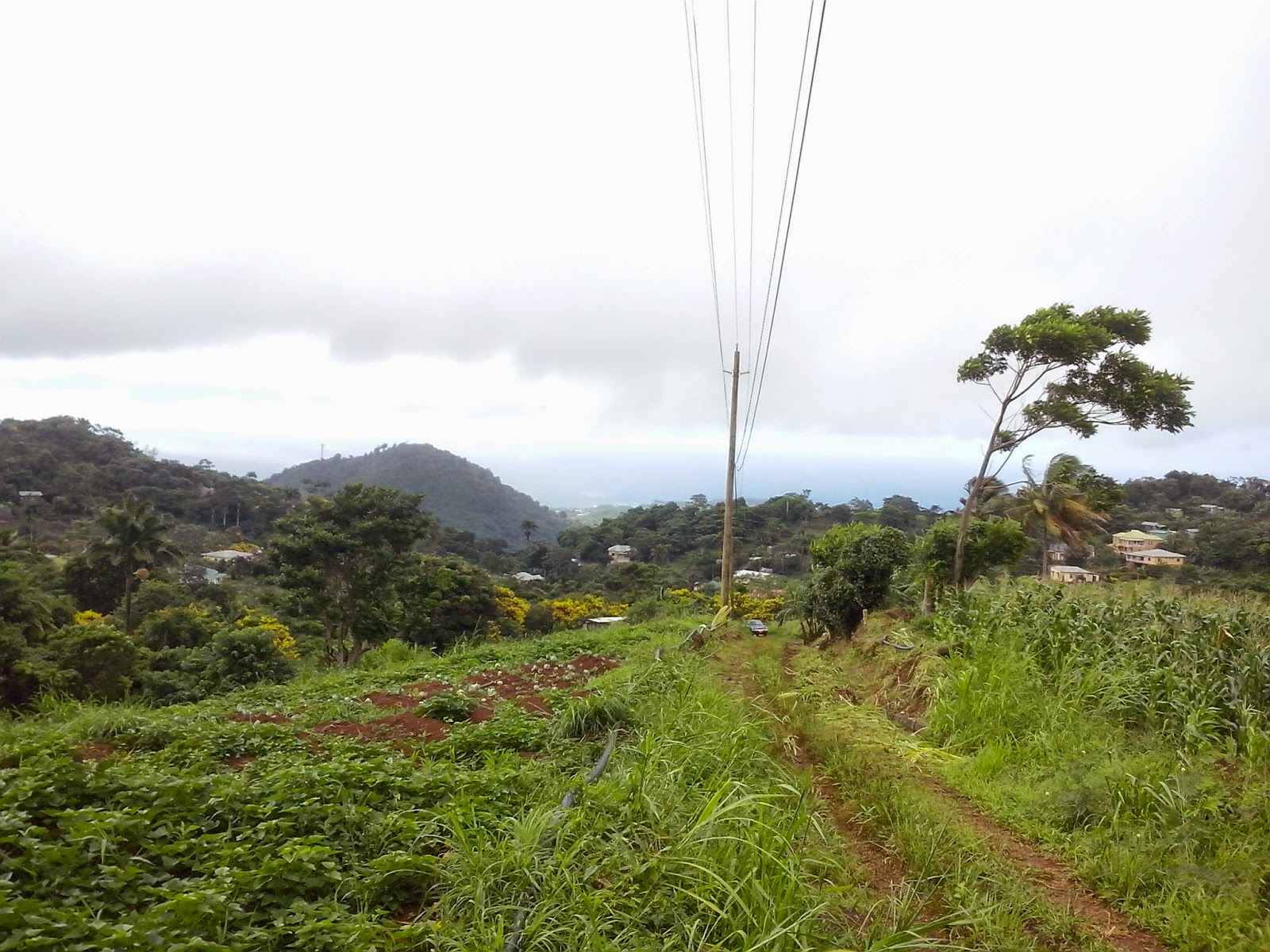
On the dirt track, I pushed the bicycle most of the time. It is very steep and washed out. Not far from the mast, I locked my bike and started walking.
An hey, in the last corner I could see a path which seemed to go along the rich towards the summit. That's exacly what I was expection and hoping for. But first I went to the masts to enjoy the view. And it is really great! Have a look at the picture.
 |
| Point Salines, Quarantine Point, Grand Anse Bay and St. George's |
|
![]() |
| The view towards the real summit of Mt. Maitland. It must be the one which touches the clouds. |
Next, I started at the trailhead to approach the summit. It was very muddy and slippery but I think I was pretty lucky about the state of the trail. It was cutlassed recently. Still, at some places it was not obvious where to continue.
To my disgrace, I must admit that I did not reach the summit. What happened? There was lots of
Scleria scindens a.k.a. razor grass on the way and I was wearing short pants. After about one third of the way, my legs were bleeding and thanks to my sweat, burning like hell. It did not make sense to continue like this for a longer time.
I have to come back!
 |
| The trail was in good condition in the beginning |
|
 |
| Don't think this is the summit. It's still far and at this point I had to search for the trail. |
|
|
|
|


Great plan that you think, I planned the route and loaded it onto my mountain bikes . I also like it.
ReplyDeletePaula R. Kellogg
I appreciate your work. I’ve been looking for quite some time such an useful resource and I’m very glad I found it. Keep up the good work! best mountain bikes
ReplyDeleteYou made some great points. I did a little research on the point and found that the vast majority concur with your web journal. diamondback overdrive review
ReplyDelete